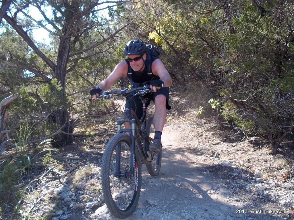
Lakeway has built out several trails that are accessible to the public featuring a variety of trail surfaces. They range from doubletrack and crushed stone jogging trails to singletrack with some technical climbs. Two of the three trails are located next to each other with the third being a little over a mile away, so you have to add some street/jogging trail mileage to your ride.
Location: Lakeway, TX
Directions: Take 2222 west out of Austin to 620. Follow 620 south to Lakeway. Take Loehmann's Crossing off of 620 in Lakeway to just past the light at Lakeway Blvd. Hamilton Greenbelt is a couple miles on the right. Rim trails are located just behind the Lakeway Swim Center
View Google Map (Hamilton Greenbelt)
View Google Map (Canyonlands trailhead)
Technical Level: Beginner to highly difficult; there are some very technical switchbacks as well. The most climbing that you will find in central Texas.
Canyonlands - City Trail Map
Elevation:

GPS File: GPX Format


