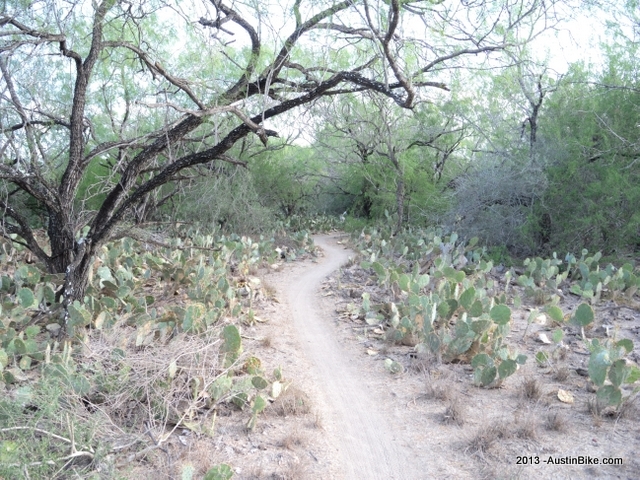
The Mission Hike and Bike Park is a trail system that includes a 5-mile paved trail that runs from the Mission Hike and Bike Park to the World Birding Center. This paved trail winds it way through the brush and along a canal. It is a great trail for walkers, runners, and road cyclists who want to get out in a nice, secluded, nature area, and burn some calories without the fear of being run over by cars.
There is also a network of 6 miles of singletrack that is scattered throughout the surrounding park that was developed for mountain bikers and trail runners who want to test their dirt skills. There are trails -- easy loops, twisty singletrack, long straights, and drops -- for all levels of riders, from beginners to experts. Signs noting difficulty are posted on most of the trails.
With recent approval from Mission Parks and Recreation Department. The Mission Trails Club and Racing Team the Cactus Cruzers, another 8 miles of singletrack, a skills area, and a pump track are being built and should be completed early 2009.
Location: Mission, TX, on the south Texas border, near Brownsville, TX
Directions: Take I-35 South, Continue on I-410 S/I-410-Loop S. Take Exit 41 to merge onto I-37 S toward Corpus Christi. Take exit 72 to merge onto US-281 S toward Rio Grande Valley. Turn west on US-83 towards McAllen. Take the Conway exit and turn left on Conway Ave. Stop at Mission Nature Park located on the west side of the street.
Technical Level: Beginner to intermediate
