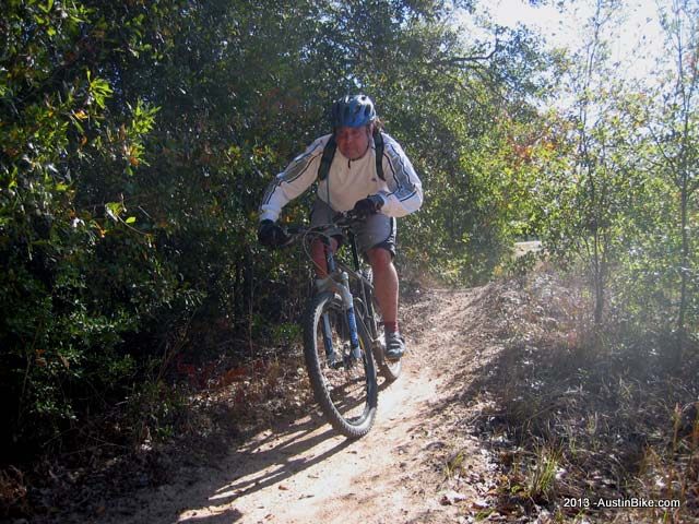
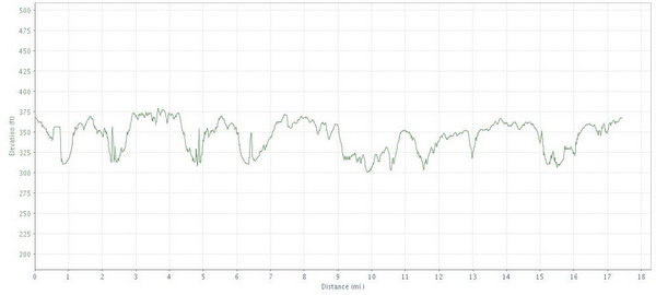
f you are heading out east and you're well out of range of Austin, then you're probably getting close to Bryan, Texas, which is home to trails at Lake Bryan. There are two different loops, the East has far more interesting trails, but the west is not to be ignored because you came all that way. Not much climbing, but there are climbs up the levee along the lake that are heavily switchbacked to ease the task. The trails feel very similar to Walnut creek in their twisty nature, but are very similar to Rocky Hill in the actual trail composition. Lots of roots, but technical challenges are low - this is a good place to go and just let loose in some great XC riding.
Location: Bryan, TX
Directions:
Take 290 east to 21 which is the Bryan exit and go North. You'll go ~40 miles and then then turn left onto Old San Antonio Road (OSR). This is about 13-14 miles past Caldwell. After a few miles turn right onto Sandy Point Road (FM 1687). The Lake is about 2.5 miles on the right, you will see a brown sign pointing to the park
Technical Level: Low to medium
Elevation:
GPS File: GPX Format


