I hope you like to climb. I mean really climb. St' Ed's is on the back side of Forest Ridge (which is now closed - don't get me started). The best loop used to be Forest Ridge down, across the Bull Creek Greenbelt, down Spicewood Springs road and then up St. Eds. Then you throw up at the top.
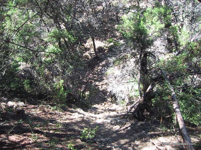
St. Ed's is a fairly short course, you take it up the north side and stay along the fence line to the left. If you take the trail to the right, you cruise along the ledge with a ~100 foot drop into the river. The trial literally drops right off, so stay on the rocky trail. When I say rocky, I mean rocky. It's literally a mile climb up rocky paths to the top. The upside is that when you turn around, you can do a high speed drop down the same path. Full suspension will save your back here. There is another downhill path along the opposite fence line but I haven't ridden that in years. I believe they are looking at additional trails here in the future.
Location: Near northwest Austin, in the Great Hills area
Directions: Take MoPac to 360; follow 360 west to the second Spicewood Springs exit and take a right. Follow Spicewood Springs for about 2 miles, the park will be on your left. There is a parking lot about 50 yards past the sign for the park
Technical Level: Medium but with lots of climbing.


